Overview
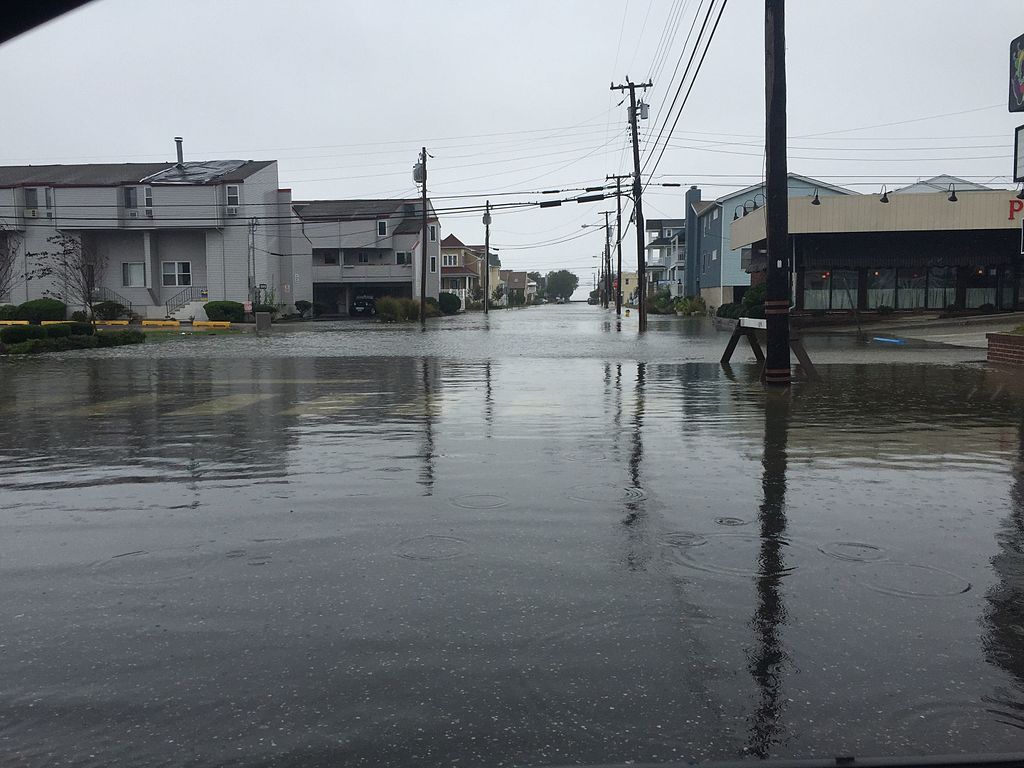
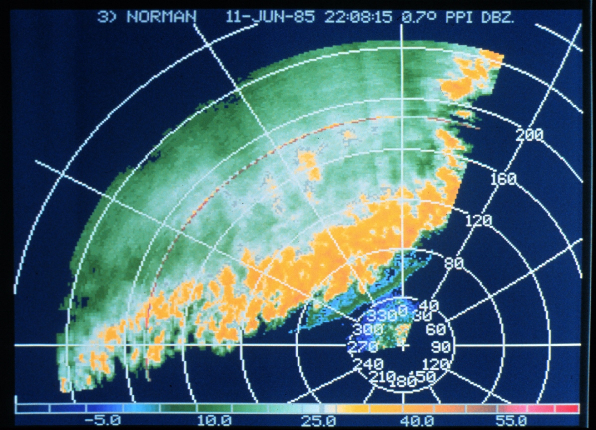
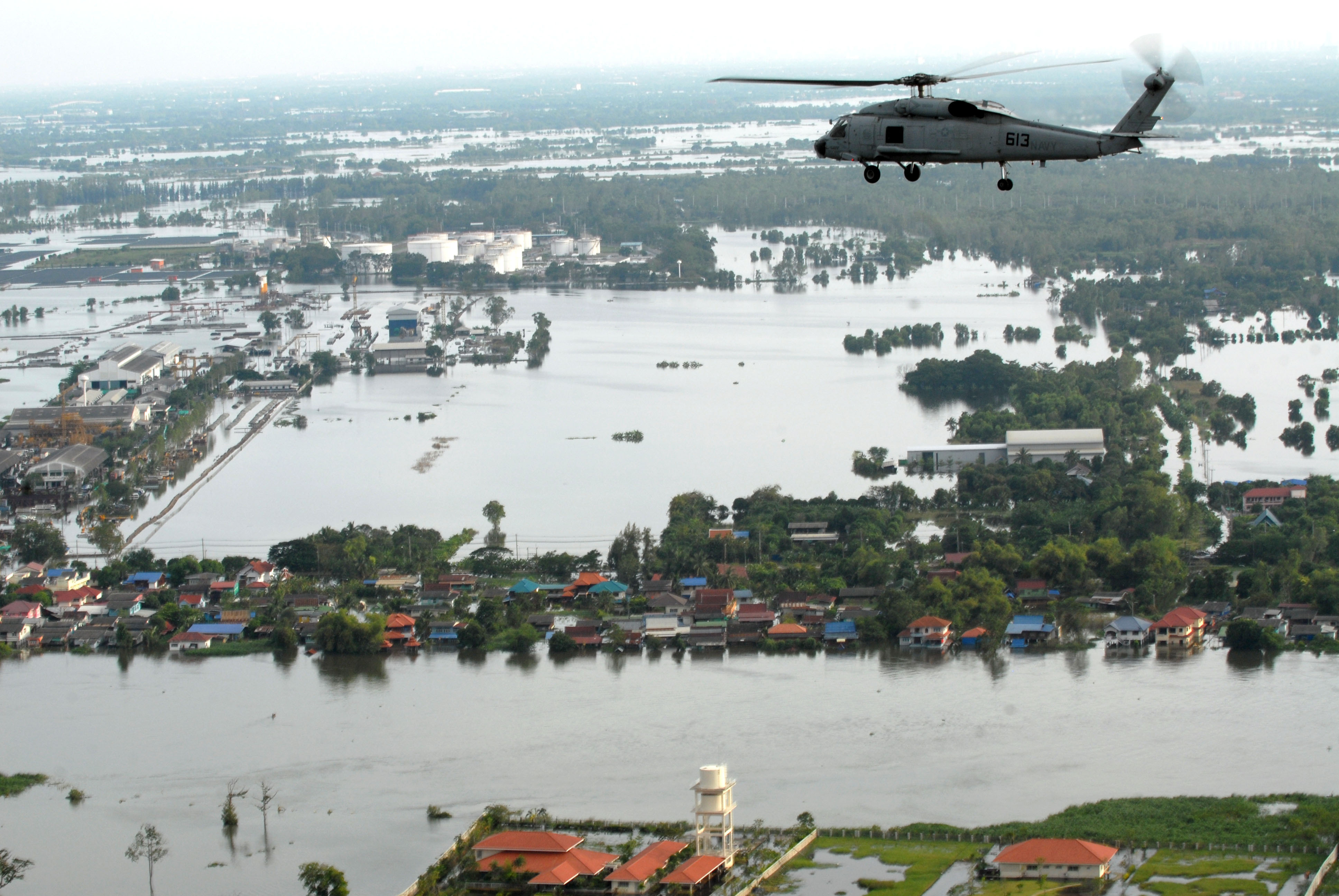
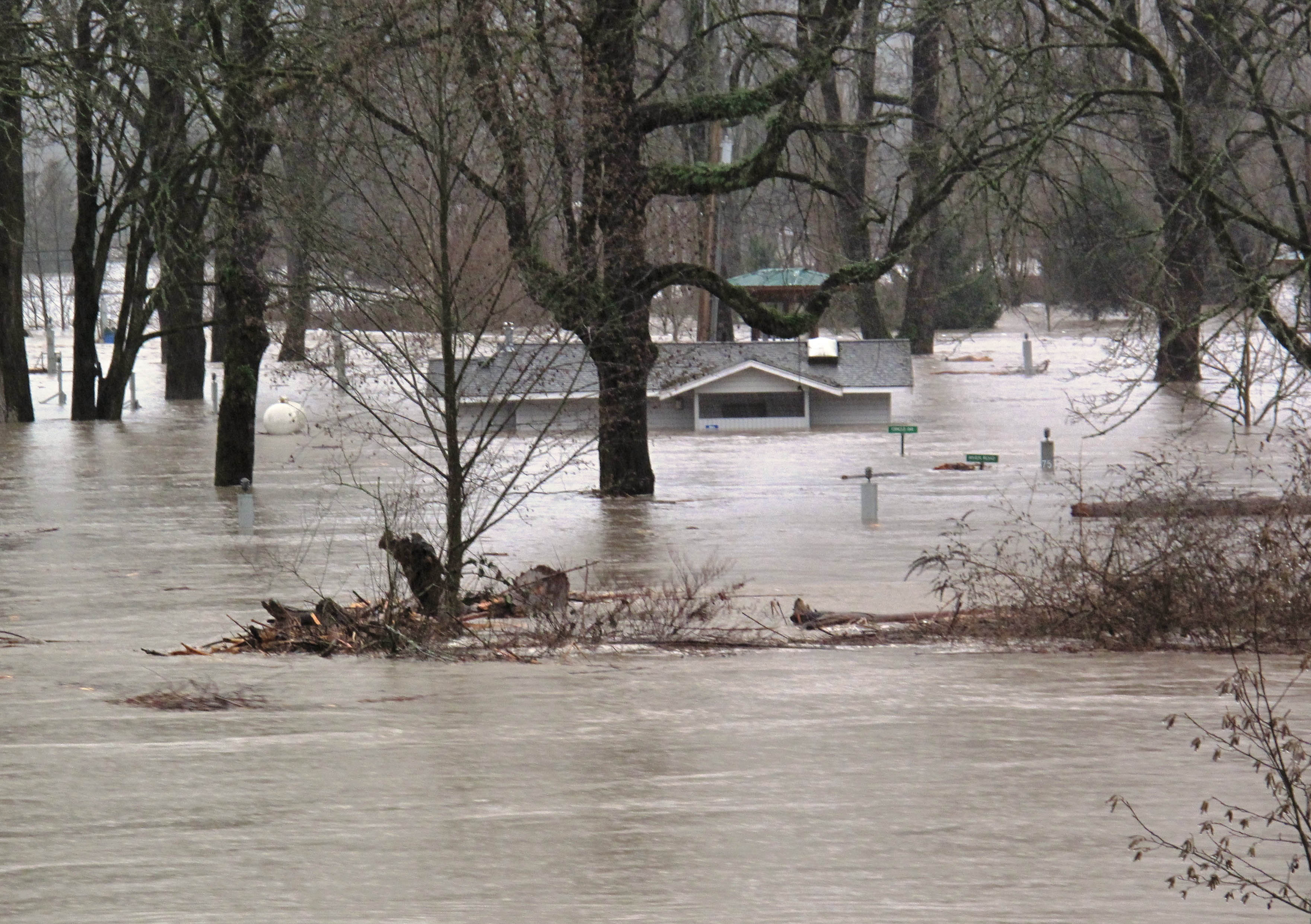
Society as a whole is increasingly exposed and vulnerable to natural disasters because extreme weather events, exacerbated by climate change, are becoming more frequent and longer. To address this global issue, novel advanced data analytics solutions able to cope with heterogeneous big data sources are needed. The huge amount of data generated by people and automatic systems during natural hazard events (e.g., social network data generated by citizens and first responders, satellite images of the affected areas, flood maps generated by drones), is typically referred to as Big Crisis Data. To transform this overload of heterogeneous information into valuable knowledge, we need to integrate it and extract knowledge in near-real time by means of novel data analytics solutions. Currently, the analysis is focused on one single type of data (e.g., social media data, or satellite images). Their integration into big data analytics systems capable of building accurate predictive nowcast and forecast models will provide effective support for emergency management.
The workshop aims at involving researchers, practitioners and environmental and governmental bodies to foster discussion on emergency management analytics open issues and provide interesting insights for future actions in the natural hazard management area.
Topics of interest include but are not limited to
- Big Data Analytics for emergency management
- Decision Support Systems for emergency management using big Spatio-temporal data
- Artificial Intelligence (Cognitive Computing) and Emergency management
- Crowdsourcing, gamification, and social media data for natural hazard prevention and management
- Hazard Nowcast and Forecast models based on the integration of earth observations, social media, and crowdsourcing
- Climate Change Models, Risk Maps for supporting emergency management
- Real-time Spatial Crisis Data acquisition and processing (satellite images, flood maps, etc.)
- Crisis Data collection by means of UAVs
Keynote Speaker
Carlos Castillo
Distinguished Research Professor at Pompeu Fabra University
Keynote title: Social Media and Digital Volunteering in Disaster Management